5. October 2010
In the real world when moving between 2 distinct viewpoints 2 things happen:1. passage of time 2. travelling of a distance
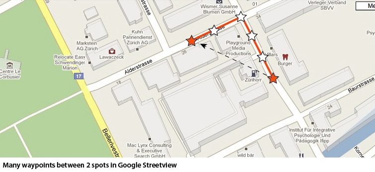 Dictated by the current technology, photographic virtual tours are limited to single viewpoints, rather then fluid motion like in a computer game. In Google Street view this is compensated partly by increasing the frequency of viewpoints. This sacrifices image and stitching quality and that frequency is not easily achievable using a semi-professional camera kit where several images are stitched together to form one 360 degree view.
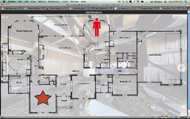
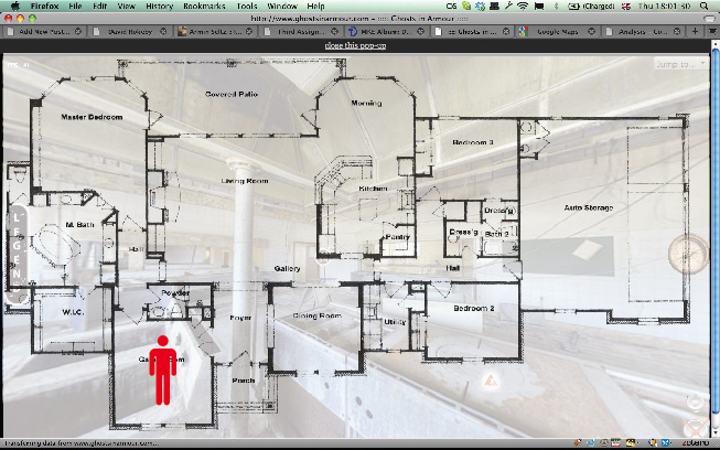
In the Whiteheads virtual tour for example sometimes fairly large distances are covered between viewpoints.
Dictated by the current technology, photographic virtual tours are limited to single viewpoints, rather then fluid motion like in a computer game. In Google Street view this is compensated partly by increasing the frequency of viewpoints. This sacrifices image and stitching quality and that frequency is not easily achievable using a semi-professional camera kit where several images are stitched together to form one 360 degree view.
In the Whiteheads virtual tour for example sometimes fairly large distances are covered between viewpoints.
Scenario:
To simulate the time and distance covered between 2 viewpoints, the following scenario could play out: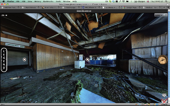 1. User clicks on a marker for another viewpoint to change the view to that spot
 2. The view fades to the map
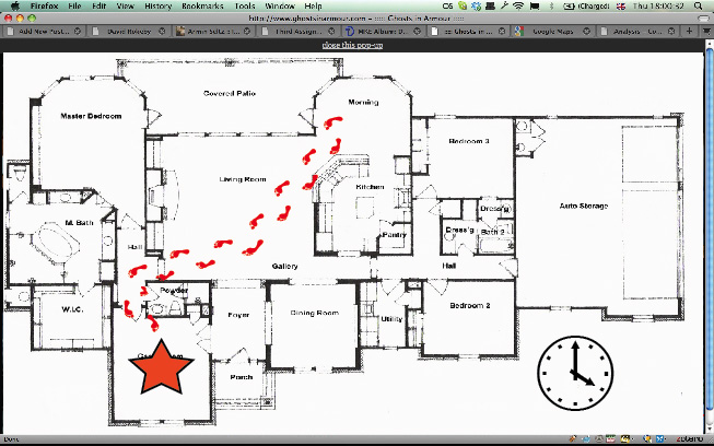 3. The way between the 2 viewpoints is animated over time. Here the analogy of footsteps following a path is used.
 4. The view fades to the next viewpoint
 This scenario would link the aspect of time taken and distance covered to get from A to B and help in orientation by showing the location of both spots in relation to the whole virtual tour.